| Lokalzeit | 2021-11-17 08:54:18 |
|---|---|
| UTC time | 2021-11-17 07:54:18 |
| Ereignis-Typ | earthquake |
| Breite / Länge | 45.63 / 10.66 |
| Schweizer Koordinaten | 851309 / 58669 |
| Magnitude | 3.0 |
| Magnitudentyp | ML |
| Ort | Lago di Garda I |
| Herdtiefe [km] | 8.8 |
| Auswertung | manual |
| Dienst | INGV |
| Letzte Änderung | 17-11-2021 08:11:46 |
| Gefahrenstufe | 0 (nach der Definition der Naturgefahrenfachstellen des Bundes) |
| Origin ID & Metadaten | smi:webservices.ingv.it/fdsnws/event/1/query?originId=97511961 |

|
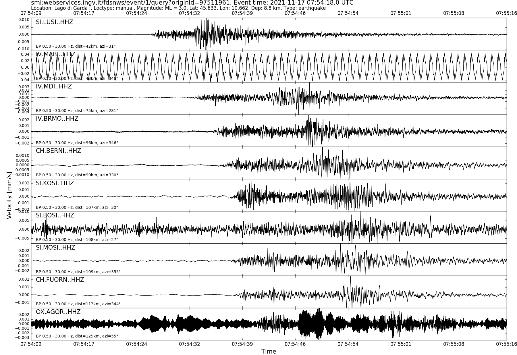
GSE 2.1 provisional format |
|---|
| BEGIN GSE2.1 MSG_TYPE DATA MSG_ID 2021/11/17_075802203 CHE_NDC DATA_TYPE BULLETIN GSE2.1:short Reviewed Event Bulletin (REB) of the CHE_NDC for November 17, 2021, 07:54:20.317 EVENT 2021/11/17_075420317 LAGO DI GARDA I Date Time Err RMS Latitude Longitude Smaj Smin Az Depth Err Ndef Nsta Gap mdist Mdist Qual Author OrigID 2021/11/17 07:54:20.32 0.33 45.7242 10.5873 15426.7 3429.6 129 2.0 5.6 17 17 271 0.61 1.68 a i uk SED -------- Magnitude Err Nsta Author OrigID MLhc 3.0 0.2 14 SED -------- Sta Dist EvAz Phase Time TRes Azim AzRes Slow SRes Def SNR Amp Per Qual Magnitude ArrID LUSI 0.34 46.4 P 07:54:26.498 ___ a__ -------- MDI 0.61 274.5 P 07:54:32.030 -0.3 ___ 991.9 a__ MLhc 2.9 -------- BRMO 0.77 347.8 P 07:54:35.420 0.0 ___ 422.9 a__ MLhc 3.2 -------- BERNI 0.80 329.7 P 07:54:36.385 0.3 ___ 352.3 a__ MLhc 3.0 -------- MOSI 0.89 357.2 P 07:54:37.848 0.0 ___ 1021.4 a__ MLhc 2.9 -------- FUORN 0.93 345.0 P 07:54:38.170 -0.4 ___ 290.8 a__ MLhc 2.9 -------- MUGIO 1.10 280.4 P 07:54:42.045 0.5 ___ 444.8 a__ MLhc 3.0 -------- VDL 1.10 313.5 P 07:54:42.085 0.2 ___ 419.9 a__ MLhc 3.2 -------- VDR 1.10 295.9 P 07:54:41.695 0.0 ___ 392.5 a__ MLhc 3.2 -------- ABSI 1.12 26.5 P 07:54:42.018 ___ a__ -------- AGOR 1.16 60.6 P 07:54:41.550 ___ a__ -------- DAVOX 1.17 334.4 P 07:54:42.975 -0.1 ___ 341.4 a__ MLhc 3.0 -------- PREO2 1.24 295.2 P 07:54:44.685 0.4 ___ 1903.5 a__ MLhc 3.1 -------- BOB 1.25 220.4 P 07:54:43.960 ___ a__ -------- VARE 1.28 276.5 P 07:54:44.870 0.0 ___ 667.8 a__ MLhc 3.2 -------- FETA 1.30 3.1 P 07:54:45.578 0.3 ___ 113.2 a__ MLhc 2.9 -------- PANIX 1.51 316.9 P 07:54:49.070 0.0 ___ 90.0 a__ MLhc 2.8 -------- NALPS 1.55 304.2 P 07:54:50.050 -0.3 ___ 532.7 a__ MLhc 3.3 -------- PLONS 1.57 327.4 P 07:54:52.015 1.8 ___ a__ -------- LLS 1.57 315.6 P 07:54:51.725 1.4 ___ a__ -------- BTRH 1.68 299.3 P 07:54:52.742 0.1 ___ 550.9 a__ MLhc 3.2 -------- STOP |